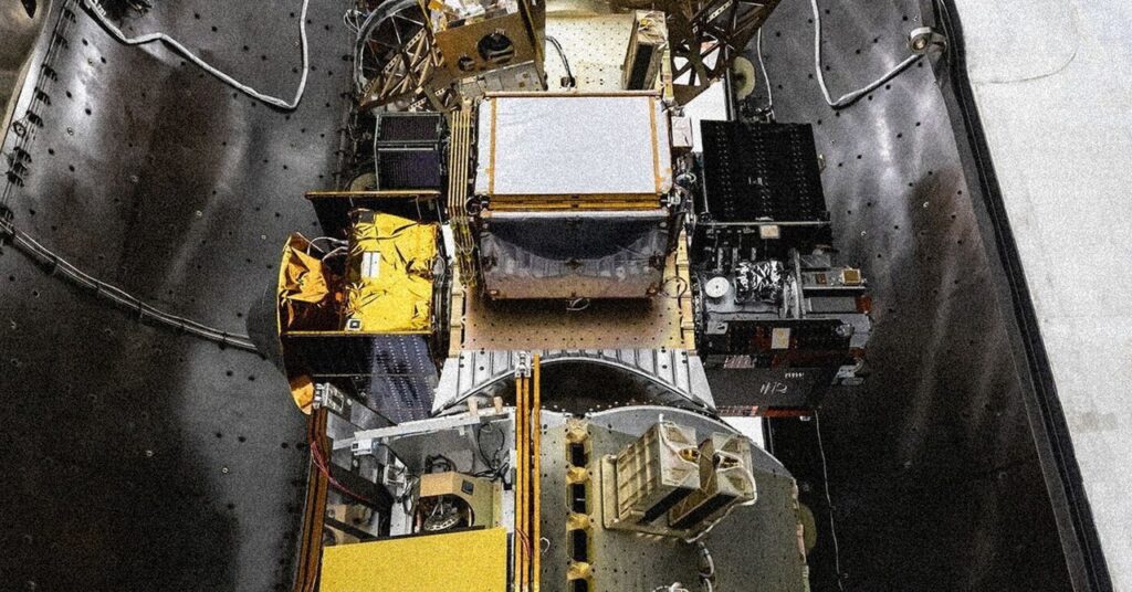
Google Aims to Enhance Its Ability to Detect Wildfires from Space

“When it comes to fire, the timeline is so condensed that employing technology is essential for making decisions that can influence the situation,” Collins states.
Krystal Azelton, a senior director at the Secure World Foundation, a nonprofit advocating for sustainable space policies, emphasizes that while satellites and AI technologies may enhance data quality, ensuring that this data reaches the appropriate users is vital.
“The shift towards AI for assistance in this area will undoubtedly yield improved outcomes, but consistency in results isn’t guaranteed,” Azelton comments. “One of my primary worries regarding environmental monitoring from space is how the data gets to its intended audience.” Azelton adds, “Numerous tech solutions exist, yet facilitating access for the people who genuinely need it is a challenge.
Van Arsdale notes that the Fire Sat team’s objective is to make their tracking data readily available, emphasizing their commitment to collaborating directly with firefighting agencies.
“There’s a certain fog of war tied to fires, where the location of new fires often remains unknown,” Van Arsdale explains when discussing the challenge of pitching comprehensive data collection to firefighting personnel. “We aim to provide you with a complete overview of all relevant activities.”
Speed Run
Although having more information is generally advantageous in emergency situations, it’s uncertain whether this satellite detection will significantly outperform existing solutions. Camera networks like those used by AlertWildfire have been the first to detect fires across the West Coast, including the devastating Palisades Fire in Los Angeles earlier this January. Additionally, while Fire Sat cameras may identify a fire immediately upon ignition, possessing that information alone doesn’t guarantee prompt firefighter response.
Daniel Swain, a climate scientist who maintains the Weather West blog and has been tracking wildfires for a long time, points out that while satellite-enabled alerts may not fully address response time issues, they can prove valuable for promptly relaying information to those in immediate peril and keeping the public updated as the fire expands.
“It doesn’t completely tackle the fundamental problems, but it’s likely a beneficial initiative,” Swain remarks. “Knowing a fire’s precise location as quickly as possible is beneficial, even if it doesn’t give us a substantial advantage in the most severe circumstances.”
These Fire Sat initiatives arise amid a surge in investment in technologies designed to combat wildfires. Notably, there is an increase in private companies aiming to innovate new firefighting solutions, seeking profits from such technologies. In June, President Trump signed an executive order advocating for a “common sense” approach to wildfire management, which emphasized prioritizing fire tech companies and urged the integration of federal disaster agencies while requesting the declassification of historical satellite data to enhance wildfire prediction—along with revising or eliminating regulations that hinder wildfire detection, prevention, and response.
